Compare with 1 courses
Introduction to Geographic Information Systems
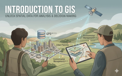
Unlock the power of spatial data. This course provides a comprehensive introduction to Geographic Information Systems (GIS), Global Positioning Systems (GPS), spatial database management, and modern mobile data collection.

 2
2