Course description

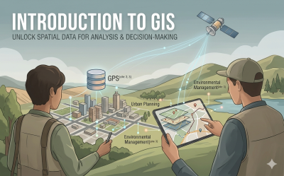
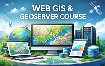
This course offers a comprehensive introduction to Geographic Information Systems (GIS), equipping learners with the knowledge and practical skills needed to understand, analyze, and visualize spatial data. As spatial technologies continue to shape decision-making across industries—from urban planning and environmental management to public health and business intelligence—this course provides a solid foundation for anyone looking to enter or grow in this field.

You will explore the core principles of GIS, including how geographic data is captured, stored, managed, and analyzed. The course introduces essential concepts such as coordinate systems, map projections, spatial data types (vector and raster), and data quality. You will also gain hands-on experience with spatial analysis techniques, learning how to interpret patterns, relationships, and trends using real-world datasets.

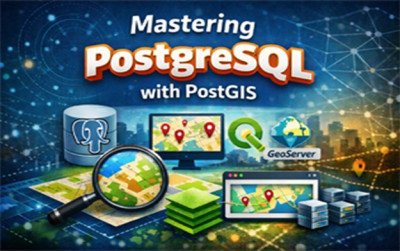
In addition, the course covers the fundamentals of Global Positioning Systems (GPS), helping you understand how location data is collected and integrated into GIS workflows. You will also be introduced to spatial database management, enabling you to organize, query, and maintain geographic data efficiently.

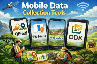
A key highlight of this course is its focus on modern mobile data collection tools. You will learn how to use mobile applications and cloud-based platforms to collect, manage, and share field data in real time—an increasingly valuable skill in today’s data-driven world.

By the end of the course, you will be able to create maps, perform basic spatial analysis, and apply GIS techniques to solve real-world problems. Whether you are a student, professional, or enthusiast, this course provides a practical and accessible pathway into the world of geospatial technology.

What will i learn?

  • Understand the interaction between hardware, software, data, people, and methods
  • Explain the difference between Geographic and Projected Coordinate Systems and why they matter for map accuracy
  • Describe how trilateration and satellite segments work together to provide real-time location data
  • Evaluate different database types, including PostgreSQL/PostGIS and Geodatabases, for various project needs
  • Design and deploy mobile data collection forms to capture spatial coordinates and multimedia in real-time
  • Use overlay, buffering, and network analysis to solve real-world problems in sectors like agriculture, health, and urban planning

Requirements

  • Access to a computer or workstation capable of running GIS software
  • A smartphone or tablet (iOS/Android) with GPS capabilities for field data collection modules.
  • A basic understanding of data organization and an interest in spatial problem-solving

Frequently asked question

You will gain a comprehensive understanding of the geospatial workflow, starting with foundational Geographic Information Systems (GIS) concepts like spatial data models and coordinate systems

Yes. The curriculum begins with an introduction to the five key components of GIS—hardware, software, data, people, and methods—making it accessible to beginners.

Geospatial skills are in high demand across multiple sectors, including urban planning, environmental management, disaster response, precision agriculture, and public health to name a few

eNova University

$99.99

Lectures

3

Skill level

Beginner

Expiry period

Lifetime

Certificate

Yes

Share this course

Related courses