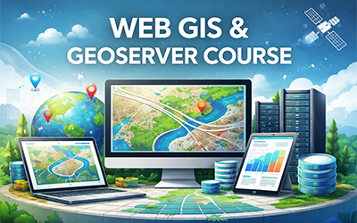
Course description
Mastering GeoServer for GIS course is a comprehensive, practical, and beginner-friendly introduction to using GeoServer as a powerful platform for publishing, managing, and sharing geospatial data on the web. Designed for GIS professionals, analysts, students, and anyone interested in Web GIS, this course bridges the gap between desktop GIS and web-based spatial data services.
Participants will begin by understanding the fundamentals of GeoServer architecture, including how it fits into modern Web GIS workflows and how it interacts with spatial databases, file-based data sources, and client applications. The course gradually builds confidence by explaining key concepts in a clear and structured way, making it accessible even to learners with no prior GeoServer experience.
A major focus of the course is working with both vector and raster data. Learners will gain hands-on experience publishing common GIS data formats such as Shapefiles, GeoPackages, PostGIS layers, GeoTIFFs, ArcGrid files, and raster mosaics. The course explains how to properly configure data stores, layers, coordinate reference systems, and metadata to ensure reliable and efficient data delivery.
The course provides in-depth coverage of OGC (Open Geospatial Consortium) web services, which form the backbone of interoperable Web GIS systems. Participants will learn the conceptual differences and practical applications of Web Map Service (WMS), Web Feature Service (WFS), and Web Coverage Service (WCS), including when to use each service, how to publish them in GeoServer, and how they are consumed by web maps, desktop GIS software, and other applications.
Styling and cartographic presentation are addressed through a dedicated module on Styled Layer Descriptor (SLD). Learners will understand how GeoServer renders maps, how styles are applied to vector and raster layers, and how to create and modify SLD styles to control colors, labels, classifications, and symbology. This enables participants to produce visually clear and professional map outputs suitable for web mapping and analysis.
Beyond core publishing tasks, the course introduces layer grouping, plugins and extensions, and an overview of GeoServer’s REST API. These topics help learners understand how to extend GeoServer’s functionality, automate repetitive tasks, and integrate GeoServer into larger GIS systems and enterprise workflows.
Throughout the course, concepts are reinforced with real-world GIS scenarios, showing how GeoServer is used in government, environmental management, urban planning, research, and data-driven decision-making. By the end of the course, participants will not only understand how GeoServer works but also how to apply it confidently in practical Web GIS projects.
This course equips learners with a strong foundation in open-source Web GIS, enabling them to publish geospatial data, support interactive mapping applications, and participate effectively in modern geospatial data infrastructures.