Compare with 1 courses
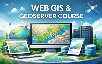
Mastering GeoServer for GIS
This course provides a comprehensive and beginner-friendly introduction to GeoServer, an open-source server for sharing and publishing geospatial data on the web. It covers vector and raster data, OGC web services such as WMS, WFS, and WCS, map styling using SLD, layer grouping, plugins and extensions.

 0
0