Compare with 1 courses
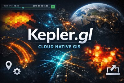
Kepler.gl Cloud Native GIS
This course provides a hands-on introduction to Kepler.gl, an open-source web-based tool for geospatial data visualization. Designed for analysts, researchers, and GIS beginners, the course covers everything from loading spatial data and creating interactive layers, to styling, filtering, analyzing spatial patterns, and sharing results. By the end, learners will be able to produce compelling maps that support data-driven storytelling and real-world decision-making.

 0
0